Satellite Image Processing for Field Monitoring
Satellite Image Processing for Field Monitoring involves the use of satellite imagery to gather information about agricultural fields, crops, and soil conditions. This data is then processed using various techniques to extract valuable insi…
Satellite Image Processing for Field Monitoring involves the use of satellite imagery to gather information about agricultural fields, crops, and soil conditions. This data is then processed using various techniques to extract valuable insights that can help farmers make informed decisions to optimize their operations and improve crop yields. In this course, we will explore key terms and vocabulary related to Satellite Image Processing for Field Monitoring.
Satellite Imagery: Satellite imagery refers to images captured by satellites orbiting the Earth. These images can provide valuable information about the Earth's surface, including land cover, vegetation health, and changes over time.
Remote Sensing: Remote sensing is the process of collecting and analyzing information about an object or area without physically being in contact with it. Satellite imagery is a common tool used in remote sensing for monitoring agricultural fields.
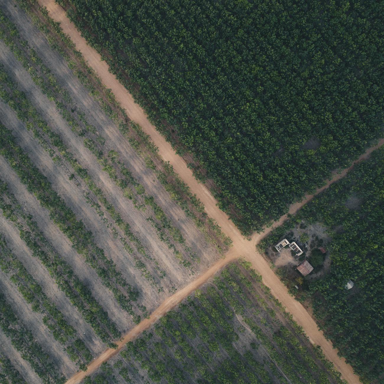
Agricultural Monitoring: Agricultural monitoring involves using remote sensing technologies, such as satellite imagery, to track and analyze crop growth, soil health, and other factors that can impact agricultural production.
Field Spectroscopy: Field spectroscopy is the measurement of the interaction between electromagnetic radiation and matter in the field. This technique is used to analyze the spectral signature of crops and soil, which can provide valuable information for monitoring agricultural fields.
Vegetation Indices: Vegetation indices are mathematical formulas that combine information from different bands of satellite imagery to provide insights into vegetation health, biomass, and stress levels. Examples of vegetation indices include NDVI (Normalized Difference Vegetation Index) and EVI (Enhanced Vegetation Index).
Image Classification: Image classification is the process of categorizing pixels in satellite imagery into different classes or categories based on their spectral properties. This technique is used to identify land cover types, such as crops, soil, water bodies, and built-up areas.
Object-Based Image Analysis (OBIA): Object-Based Image Analysis is an approach to image analysis that groups pixels into meaningful objects based on their spectral, spatial, and contextual information. This technique is useful for identifying and analyzing specific features in satellite imagery, such as fields, crops, and weeds.
Change Detection: Change detection is the process of identifying and analyzing changes in satellite imagery over time. This technique can be used to monitor crop growth, detect pest infestations, assess soil erosion, and track land use changes.
Machine Learning: Machine learning is a subset of artificial intelligence that involves training algorithms to learn patterns and make predictions from data. In the context of satellite image processing, machine learning algorithms can be used for image classification, object detection, and predictive modeling.
Deep Learning: Deep learning is a type of machine learning that uses artificial neural networks to learn from large amounts of data. Deep learning algorithms, such as convolutional neural networks (CNNs), have shown promising results in tasks like image classification and object detection in satellite imagery.
Supervised Learning: Supervised learning is a type of machine learning where the algorithm is trained on labeled data, meaning that the input data is paired with the correct output. This approach is commonly used in satellite image processing for tasks like image classification and land cover mapping.
Unsupervised Learning: Unsupervised learning is a type of machine learning where the algorithm learns patterns from unlabeled data. This approach can be used for tasks like clustering similar regions in satellite imagery or anomaly detection.
Random Forest: Random Forest is an ensemble learning algorithm that is commonly used in satellite image processing for classification tasks. It works by constructing multiple decision trees during training and outputting the class that is the mode of the classes of the individual trees.
Support Vector Machine (SVM): Support Vector Machine is a supervised learning algorithm that is used for classification and regression tasks. In the context of satellite image processing, SVM can be used for tasks like land cover classification and object detection.
Geographic Information System (GIS): Geographic Information System is a system designed to capture, store, manipulate, analyze, manage, and present spatial or geographic data. GIS technology is commonly used in conjunction with satellite imagery for mapping, spatial analysis, and decision-making in agriculture.
Precision Agriculture: Precision agriculture is an approach to farming that uses technology, such as satellite imagery, GPS, and sensors, to optimize crop production and minimize waste. By using data-driven insights, farmers can make more informed decisions about planting, irrigation, fertilization, and pest control.
Yield Mapping: Yield mapping is the process of collecting and analyzing data on crop yields across a field. This information can help farmers identify areas of high and low productivity, optimize inputs, and improve overall crop yields.
Variable Rate Application (VRA): Variable Rate Application is a precision agriculture practice that involves adjusting the rate of inputs, such as fertilizers or pesticides, based on the specific needs of different areas within a field. Satellite imagery can be used to create prescription maps for VRA.
Challenges in Satellite Image Processing for Field Monitoring: Despite the numerous benefits of using satellite imagery for field monitoring in agriculture, there are several challenges that need to be addressed. These challenges include:
Data Quality: Ensuring the quality and accuracy of satellite imagery is crucial for reliable analysis and decision-making. Factors like cloud cover, sensor calibration, and image resolution can impact the quality of the data.
Data Processing: Processing large volumes of satellite imagery requires specialized software, hardware, and expertise. Efficient algorithms and techniques are needed to extract meaningful information from the data in a timely manner.
Data Integration: Integrating satellite imagery with other data sources, such as weather data, soil samples, and crop yield data, can provide a more comprehensive view of agricultural fields. However, integrating disparate data sources can be challenging due to differences in formats and scales.
Interpretation: Interpreting satellite imagery and extracting actionable insights can be complex, especially for non-experts. Training and education are essential for farmers and agronomists to effectively use satellite imagery for field monitoring and decision-making.
Cost: Acquiring and processing satellite imagery can be costly, especially for small-scale farmers. Finding cost-effective solutions and leveraging publically available data sources can help overcome this barrier.
In conclusion, Satellite Image Processing for Field Monitoring is a powerful tool that can revolutionize agriculture by providing valuable insights for optimizing crop production, improving resource management, and enhancing sustainability. By understanding key terms and concepts related to satellite image processing, learners can effectively apply these techniques in precision agriculture to drive innovation and success in the industry.
Key takeaways
- This data is then processed using various techniques to extract valuable insights that can help farmers make informed decisions to optimize their operations and improve crop yields.
- These images can provide valuable information about the Earth's surface, including land cover, vegetation health, and changes over time.
- Remote Sensing: Remote sensing is the process of collecting and analyzing information about an object or area without physically being in contact with it.
- Agricultural Monitoring: Agricultural monitoring involves using remote sensing technologies, such as satellite imagery, to track and analyze crop growth, soil health, and other factors that can impact agricultural production.
- This technique is used to analyze the spectral signature of crops and soil, which can provide valuable information for monitoring agricultural fields.
- Vegetation Indices: Vegetation indices are mathematical formulas that combine information from different bands of satellite imagery to provide insights into vegetation health, biomass, and stress levels.
- Image Classification: Image classification is the process of categorizing pixels in satellite imagery into different classes or categories based on their spectral properties.