Remote Sensing Payloads
Remote Sensing Payloads: Remote sensing refers to the collection of information about an object or phenomenon without making physical contact with the object. Remote sensing payloads are instruments mounted on satellites that capture data f…
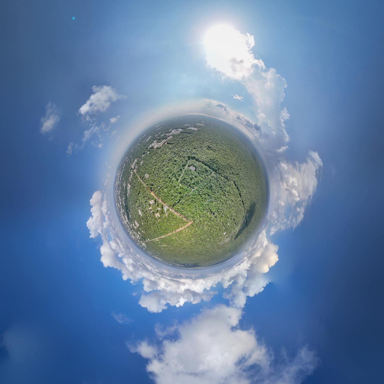
Remote Sensing Payloads: Remote sensing refers to the collection of information about an object or phenomenon without making physical contact with the object. Remote sensing payloads are instruments mounted on satellites that capture data from the Earth's surface or atmosphere. These payloads play a crucial role in various applications such as weather forecasting, agriculture monitoring, disaster management, and environmental studies.
Satellite Payloads: Satellite payloads are the instruments or equipment carried by a satellite to perform specific functions. These payloads can include remote sensing instruments, communication devices, scientific instruments, and propulsion systems. The design and selection of payloads are critical in determining the satellite's capabilities and the success of its mission.
Electro-Optical Payloads: Electro-optical payloads use electromagnetic radiation in the visible, ultraviolet, and infrared ranges to capture images and data. These payloads are commonly used in remote sensing applications for Earth observation, surveillance, and reconnaissance. Examples of electro-optical payloads include cameras, spectrometers, and hyperspectral imagers.
Radar Payloads: Radar payloads use radio waves to detect and measure the distance, speed, and direction of objects on the Earth's surface. Radar payloads are ideal for applications that require all-weather and day-and-night imaging capabilities. Synthetic Aperture Radar (SAR) payloads are commonly used for mapping, disaster monitoring, and defense applications.
Hyperspectral Payloads: Hyperspectral payloads capture images in hundreds of narrow spectral bands, allowing for detailed analysis of the Earth's surface composition and properties. These payloads provide valuable information for agriculture, environmental monitoring, and mineral exploration. Hyperspectral payloads can identify specific materials based on their unique spectral signatures.
Multispectral Payloads: Multispectral payloads capture images in a few broad spectral bands, providing information on vegetation health, land use, and urban development. These payloads are commonly used in agriculture, forestry, and land cover mapping. Multispectral payloads are more cost-effective than hyperspectral payloads but offer less detailed information.
LiDAR Payloads: LiDAR (Light Detection and Ranging) payloads use laser pulses to measure the distance and elevation of objects on the Earth's surface. LiDAR payloads are essential for creating high-resolution Digital Elevation Models (DEMs), mapping terrain features, and monitoring vegetation structure. LiDAR payloads are widely used in urban planning, forestry, and disaster response.
Passive Payloads: Passive payloads receive and record electromagnetic radiation emitted by the Earth's surface or atmosphere. Examples of passive payloads include cameras, spectrometers, and radiometers. Passive payloads do not emit any radiation themselves and rely on natural sources of radiation for data collection.
Active Payloads: Active payloads emit their own electromagnetic radiation and measure the reflected signals to gather information about the Earth's surface. Radar and LiDAR payloads are examples of active payloads. Active payloads provide high-resolution data and are ideal for applications that require precise measurements and imaging.
Resolution: Resolution refers to the level of detail that a remote sensing payload can capture in an image. Spatial resolution determines the size of the smallest object that can be resolved in an image, while spectral resolution refers to the number of spectral bands or wavelengths that can be distinguished. Temporal resolution refers to the frequency at which a satellite revisits the same location.
Swath Width: Swath width is the horizontal coverage of the Earth's surface that a remote sensing payload can image in a single pass. A wider swath width allows satellites to capture larger areas in less time, making them more efficient for mapping and monitoring applications. Swath width is determined by the sensor's field of view and the satellite's altitude.
Ground Sampling Distance (GSD): Ground Sampling Distance is the distance between pixel centers on the ground in an image. A smaller GSD indicates higher spatial resolution and finer detail in the image. GSD is influenced by the sensor's spatial resolution, the satellite's altitude, and the sensor's viewing angle. Higher GSD values result in coarser images with less detail.
Georeferencing: Georeferencing is the process of assigning geographic coordinates to remote sensing data to accurately position and align the images with Earth's surface features. Georeferencing enables the integration of remote sensing data with geographic information systems (GIS) for mapping, analysis, and decision-making. Georeferencing involves correcting image distortions, aligning images to a reference system, and applying coordinate transformations.
Calibration: Calibration is the process of adjusting and standardizing remote sensing instruments to ensure the accuracy and consistency of the data they capture. Calibration involves correcting sensor errors, removing noise, and adjusting for variations in sensor response over time. Calibrated data can be compared across different sensors and time periods, enabling reliable analysis and interpretation.
Image Processing: Image processing involves the manipulation and analysis of remote sensing data to extract meaningful information and create useful products. Image processing techniques include image enhancement, classification, change detection, and feature extraction. Image processing helps researchers and analysts visualize, interpret, and analyze remote sensing data for various applications.
Data Fusion: Data fusion is the integration of multiple sources of remote sensing data to enhance the quality, accuracy, and information content of the final product. Data fusion combines data from different sensors, resolutions, and spectral bands to create comprehensive and detailed images. Fusion techniques include pixel-based, feature-based, and decision-level fusion, which improve the overall performance of remote sensing systems.
Remote Sensing Applications: Remote sensing payloads are used in a wide range of applications across various sectors, including agriculture, forestry, urban planning, disaster management, environmental monitoring, defense, and infrastructure development. Remote sensing data helps policymakers, scientists, and decision-makers make informed decisions, monitor changes in the environment, and respond to natural disasters.
Challenges in Remote Sensing: Remote sensing faces several challenges, including data processing and analysis, cloud cover and atmospheric interference, calibration and validation, data fusion, and data sharing. Overcoming these challenges requires advanced algorithms, sensor technologies, and collaboration among stakeholders. Continued research and innovation are essential to address these challenges and improve the capabilities of remote sensing systems.
Key takeaways
- Remote Sensing Payloads: Remote sensing refers to the collection of information about an object or phenomenon without making physical contact with the object.
- Satellite Payloads: Satellite payloads are the instruments or equipment carried by a satellite to perform specific functions.
- Electro-Optical Payloads: Electro-optical payloads use electromagnetic radiation in the visible, ultraviolet, and infrared ranges to capture images and data.
- Radar Payloads: Radar payloads use radio waves to detect and measure the distance, speed, and direction of objects on the Earth's surface.
- Hyperspectral Payloads: Hyperspectral payloads capture images in hundreds of narrow spectral bands, allowing for detailed analysis of the Earth's surface composition and properties.
- Multispectral Payloads: Multispectral payloads capture images in a few broad spectral bands, providing information on vegetation health, land use, and urban development.
- LiDAR Payloads: LiDAR (Light Detection and Ranging) payloads use laser pulses to measure the distance and elevation of objects on the Earth's surface.