Geospatial Technologies for Precision Agriculture
Geospatial Technologies for Precision Agriculture play a crucial role in modern farming practices by providing farmers with valuable information to optimize crop production. These technologies encompass a range of tools and techniques that …
Geospatial Technologies for Precision Agriculture play a crucial role in modern farming practices by providing farmers with valuable information to optimize crop production. These technologies encompass a range of tools and techniques that utilize geographic data to monitor, analyze, and manage agricultural activities. In the context of the Postgraduate Certificate in Precision Agriculture and AI, it is essential to understand the key terms and vocabulary associated with Geospatial Technologies to effectively apply them in agricultural settings.
1. **Geospatial Technologies**: Geospatial Technologies refer to a collection of tools and techniques used to capture, store, manipulate, analyze, manage, and present spatial or geographic data. These technologies include Geographic Information Systems (GIS), Global Positioning Systems (GPS), Remote Sensing, and Spatial Analysis.
2. **Precision Agriculture**: Precision Agriculture is a farming management concept that utilizes Geospatial Technologies to optimize field-level management with regard to crop production. It involves the use of information technology to ensure that crops receive precisely what they need for optimum health and productivity.
3. **Geographic Information Systems (GIS)**: GIS is a computer-based tool for mapping and analyzing spatial data. It allows users to visualize, interpret, and analyze data in ways that reveal relationships, patterns, and trends in the form of maps, reports, and charts.
4. **Global Positioning System (GPS)**: GPS is a satellite-based navigation system that enables users to determine their precise location anywhere on Earth. In Precision Agriculture, GPS is used for mapping fields, guiding agricultural machinery, and tracking crop health.
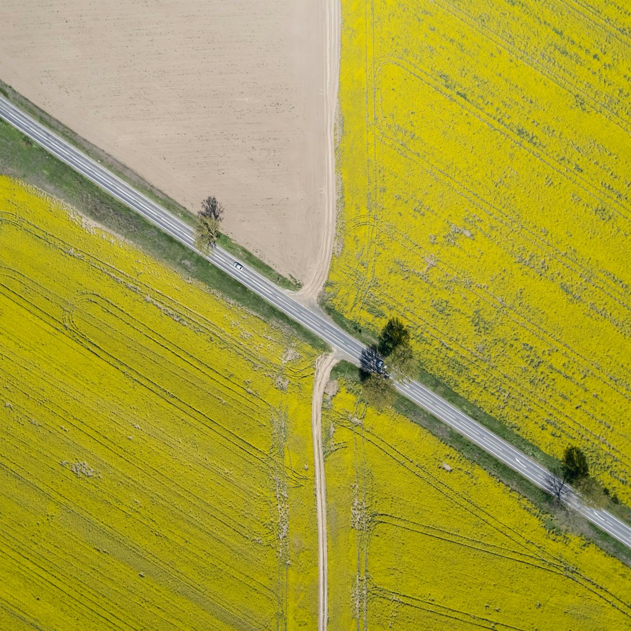
5. **Remote Sensing**: Remote Sensing involves the collection of information about an object or phenomenon from a distance, typically using aircraft or satellite sensors. In Precision Agriculture, remote sensing is used to monitor crops, soil conditions, and environmental factors.
6. **Spatial Analysis**: Spatial Analysis is the process of examining the relationships between geographic data sets to identify patterns and trends. It helps in making informed decisions about agricultural practices based on spatial information.
7. **Digital Elevation Model (DEM)**: A DEM is a digital representation of the topography of a terrain. It is used in Precision Agriculture to analyze slope, aspect, and elevation data for various applications like water management and precision planting.
8. **Normalized Difference Vegetation Index (NDVI)**: NDVI is a remote sensing technique used to assess vegetation health and density. It measures the difference between near-infrared and red light reflected by vegetation, providing insights into crop health and growth.
9. **Precision Planting**: Precision Planting involves the use of GPS and GIS technologies to precisely plant seeds at optimal spacing and depth. This technique helps in maximizing crop yields by ensuring uniform plant distribution and reducing seed wastage.
10. **Variable Rate Technology (VRT)**: VRT allows for the application of inputs such as fertilizers, pesticides, and irrigation water at variable rates across a field. By using geospatial data, farmers can tailor inputs to specific areas based on soil conditions and crop requirements.
11. **Yield Mapping**: Yield Mapping is the process of collecting and analyzing data on crop yields across a field. It helps farmers identify areas of high and low productivity, allowing for targeted management practices to improve overall yield and profitability.
12. **Site-specific Farming**: Site-specific Farming involves the customization of agricultural practices based on the unique characteristics of different areas within a field. Geospatial data is used to implement precision agriculture techniques that address specific needs of each location.
13. **Unmanned Aerial Vehicles (UAVs)**: UAVs, commonly known as drones, are used in Precision Agriculture for collecting high-resolution aerial imagery of fields. They provide detailed information on crop health, pests, and diseases, allowing farmers to make informed decisions about crop management.
14. **Data Integration**: Data Integration involves combining information from various sources such as GIS, GPS, and remote sensing to create a comprehensive dataset for analysis. It enables farmers to gain a holistic view of their operations and make data-driven decisions.
15. **Decision Support Systems (DSS)**: DSS are computer-based tools that assist farmers in making informed decisions about crop management. By integrating geospatial data and agronomic knowledge, DSS provide recommendations on inputs, planting schedules, and pest control measures.
16. **Geostatistics**: Geostatistics is a branch of statistics that deals with the analysis of spatial data. It is used in Precision Agriculture to model and predict spatial variability in soil properties, crop yields, and other agricultural parameters.
17. **Internet of Things (IoT)**: IoT refers to the network of interconnected devices that collect and exchange data over the internet. In Precision Agriculture, IoT sensors can be used to monitor soil moisture, temperature, and other environmental factors in real-time for precision management.
18. **Machine Learning**: Machine Learning is a subset of artificial intelligence that enables computer systems to learn from data and make predictions or decisions without being explicitly programmed. In Precision Agriculture, machine learning algorithms can analyze geospatial data to optimize crop production.
19. **Challenges in Geospatial Technologies for Precision Agriculture**: Despite the benefits of Geospatial Technologies in Precision Agriculture, there are challenges that need to be addressed. These include data privacy concerns, limited access to technology in rural areas, and the need for specialized training to effectively utilize these tools.
20. **Future Trends**: The future of Geospatial Technologies in Precision Agriculture is promising, with advancements in data analytics, artificial intelligence, and automation shaping the industry. Innovations such as robotic farming, hyperspectral imaging, and blockchain technology are expected to revolutionize agricultural practices.
In conclusion, mastering the key terms and vocabulary related to Geospatial Technologies is essential for professionals pursuing a career in Precision Agriculture. By understanding these concepts and their practical applications, individuals can harness the power of spatial data to optimize crop production, conserve resources, and enhance sustainability in agriculture.
Key takeaways
- In the context of the Postgraduate Certificate in Precision Agriculture and AI, it is essential to understand the key terms and vocabulary associated with Geospatial Technologies to effectively apply them in agricultural settings.
- **Geospatial Technologies**: Geospatial Technologies refer to a collection of tools and techniques used to capture, store, manipulate, analyze, manage, and present spatial or geographic data.
- **Precision Agriculture**: Precision Agriculture is a farming management concept that utilizes Geospatial Technologies to optimize field-level management with regard to crop production.
- It allows users to visualize, interpret, and analyze data in ways that reveal relationships, patterns, and trends in the form of maps, reports, and charts.
- **Global Positioning System (GPS)**: GPS is a satellite-based navigation system that enables users to determine their precise location anywhere on Earth.
- **Remote Sensing**: Remote Sensing involves the collection of information about an object or phenomenon from a distance, typically using aircraft or satellite sensors.
- **Spatial Analysis**: Spatial Analysis is the process of examining the relationships between geographic data sets to identify patterns and trends.