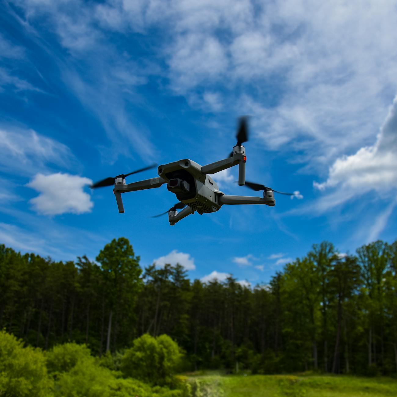
Drone Navigation Systems
Drone Navigation Systems:
Drone Navigation Systems:
Drone navigation systems are essential components in ensuring the safe and efficient operation of unmanned aerial vehicles (UAVs). These systems are responsible for guiding drones to their destinations while avoiding obstacles, maintaining stability, and optimizing flight paths. Understanding the key terms and vocabulary associated with drone navigation systems is crucial for drone maintenance and repair specialists. Let's explore some of the most important terms in this field:
1. Autopilot: An autopilot is a system that controls the flight of a drone without direct human intervention. It uses sensors and algorithms to maintain stability, follow a pre-programmed flight path, and make adjustments as needed. Autopilots are crucial for ensuring smooth and accurate navigation, especially in complex environments.
2. GPS (Global Positioning System): GPS is a satellite-based navigation system that provides accurate positioning and timing information to drones. By receiving signals from multiple satellites, drones can determine their exact location, altitude, and speed. GPS is essential for navigation, waypoint tracking, and return-to-home functions.
3. Waypoint: A waypoint is a specific location or point in space that a drone is instructed to navigate to during a flight. Waypoints are predefined coordinates that help drones follow a desired route, complete missions, and perform tasks such as aerial photography or surveying. Pilots can program multiple waypoints to create a flight plan for the drone.
4. Flight Controller: The flight controller is the "brain" of a drone navigation system, responsible for processing sensor data, executing control algorithms, and sending commands to the motors. It plays a critical role in stabilizing the drone, adjusting its orientation, and responding to user inputs. Flight controllers often integrate autopilot functionality and support various flight modes.
5. Inertial Measurement Unit (IMU): An IMU is a sensor that measures the drone's acceleration, rotation rates, and orientation. By combining data from accelerometers and gyroscopes, the IMU provides crucial information about the drone's attitude and movement. This data is used by the flight controller to maintain stability and control the drone's flight path.
6. Telemetry: Telemetry refers to the wireless transmission of real-time data between the drone and the ground control station. This data includes information about the drone's position, altitude, speed, battery level, and other flight parameters. Telemetry systems enable pilots to monitor and control the drone remotely, ensuring safe and effective operation.
7. Return-to-Home (RTH): Return-to-Home is a safety feature that automatically brings the drone back to its takeoff point in case of signal loss, low battery, or user command. RTH relies on GPS coordinates to navigate the drone back to a predefined home location, ensuring a safe landing even in unexpected situations. This feature is crucial for preventing flyaways and protecting the drone from damage.
8. Geofencing: Geofencing is a virtual boundary or area defined by GPS coordinates that restricts the movement of a drone. By setting up geofences, operators can prevent drones from flying into restricted zones, such as airports, military installations, or private properties. Geofencing helps ensure compliance with regulations and enhances safety during drone operations.
9. Obstacle Avoidance: Obstacle avoidance systems use sensors, cameras, or lidar technology to detect and avoid obstacles in the drone's flight path. These systems help prevent collisions with buildings, trees, or other objects, enhancing the safety and reliability of drone navigation. Obstacle avoidance is particularly important when flying in urban areas or complex environments.
10. Altitude Hold: Altitude hold is a flight mode that allows the drone to maintain a constant altitude without user input. By using barometric pressure sensors or ultrasonic sensors, the drone can hold its position relative to the ground, even in changing weather conditions. Altitude hold is useful for aerial photography, surveying, and other applications that require stable flight.
11. Ground Control Station (GCS): The ground control station is a physical or software interface that allows operators to communicate with and control the drone. GCS systems provide real-time telemetry data, flight planning tools, and mission management features. Operators can use GCS to monitor the drone's status, adjust flight parameters, and ensure safe and efficient operations.
12. Dynamic Geofencing: Dynamic geofencing is a more advanced form of geofencing that adapts to real-time changes in the environment or regulations. By using GPS data and geospatial information, dynamic geofencing can create temporary no-fly zones, adjust flight restrictions, or reroute drones to avoid obstacles. This technology enhances the flexibility and safety of drone operations in dynamic environments.
13. Attitude Control: Attitude control refers to the ability of a drone to maintain a stable orientation or attitude in flight. By adjusting the drone's roll, pitch, and yaw angles, attitude control systems ensure smooth and precise maneuvering. These systems work in conjunction with the flight controller and IMU to keep the drone stable and responsive to pilot inputs.
14. Airspeed Sensor: An airspeed sensor measures the speed of the drone relative to the air around it. By monitoring airspeed, the drone can adjust its flight path, optimize energy consumption, and improve overall performance. Airspeed sensors are essential for maintaining control and stability during different flight conditions, such as high winds or varying altitudes.
15. Fail-Safe Mode: Fail-safe mode is a backup system that activates in case of a critical failure or emergency situation. When triggered, fail-safe mode can perform actions such as landing the drone safely, returning to a home location, or initiating emergency procedures. This feature provides an extra layer of protection and ensures the drone's integrity in unforeseen circumstances.
16. Dynamic Positioning: Dynamic positioning is a navigation technique that maintains the drone's position relative to a moving object or target. By using GPS data and motion sensors, dynamic positioning systems can track and follow objects, such as vehicles, ships, or animals. This capability is useful for surveillance, tracking, and other applications that require precise positioning.
17. Remote Identification: Remote identification is a regulatory requirement that mandates drones to broadcast identification information to authorities and other airspace users. By transmitting unique identifiers, such as registration numbers or digital signatures, drones can be easily identified and tracked during flight. Remote identification enhances safety, security, and accountability in the airspace.
18. Emergency Parachute System: An emergency parachute system is a safety device that can deploy a parachute to slow down the descent of a drone in case of a catastrophic failure. By providing a controlled landing, parachute systems help protect the drone from damage and mitigate risks to people or property on the ground. These systems are crucial for ensuring safe operations in sensitive or crowded areas.
19. Radio Frequency Interference (RFI): Radio Frequency Interference occurs when external signals disrupt or degrade the communication between the drone and the remote control. RFI can cause loss of control, erratic behavior, or signal dropout, posing risks to the drone's operation. Operators must mitigate RFI by avoiding congested radio frequencies, using shielded cables, or employing signal filters.
20. Multirotor Configuration: A multirotor configuration refers to a drone design with multiple rotors (e.g., quadcopter, hexacopter, octocopter). Each rotor generates lift and thrust, enabling the drone to hover, maneuver, and fly in different directions. Multirotor drones are popular for their stability, agility, and versatility in various applications, such as aerial photography, inspection, and search and rescue.
In conclusion, mastering the key terms and vocabulary related to drone navigation systems is essential for drone maintenance and repair specialists. By understanding concepts such as autopilot, GPS, waypoint, and obstacle avoidance, professionals can effectively troubleshoot, calibrate, and optimize drone navigation systems for safe and efficient operations. With the rapid advancement of drone technology and regulations, staying informed about the latest developments in navigation systems is crucial for ensuring compliance, safety, and performance in the drone industry.
Key takeaways
- These systems are responsible for guiding drones to their destinations while avoiding obstacles, maintaining stability, and optimizing flight paths.
- It uses sensors and algorithms to maintain stability, follow a pre-programmed flight path, and make adjustments as needed.
- GPS (Global Positioning System): GPS is a satellite-based navigation system that provides accurate positioning and timing information to drones.
- Waypoints are predefined coordinates that help drones follow a desired route, complete missions, and perform tasks such as aerial photography or surveying.
- Flight Controller: The flight controller is the "brain" of a drone navigation system, responsible for processing sensor data, executing control algorithms, and sending commands to the motors.
- By combining data from accelerometers and gyroscopes, the IMU provides crucial information about the drone's attitude and movement.
- Telemetry: Telemetry refers to the wireless transmission of real-time data between the drone and the ground control station.