GIS Applications in Biodiversity Conservation
Geographic Information Systems (GIS) are powerful tools that are used in a variety of applications, including biodiversity conservation. In the Graduate Certificate in GIS for Climate Change and Conservation, students will learn how to use …
Geographic Information Systems (GIS) are powerful tools that are used in a variety of applications, including biodiversity conservation. In the Graduate Certificate in GIS for Climate Change and Conservation, students will learn how to use GIS to analyze and understand biodiversity data in order to inform conservation efforts. Here are some key terms and vocabulary that students in this course should be familiar with:
1. GIS: Geographic Information Systems are computer systems that are used to capture, store, manipulate, analyze, and visualize geographic data. GIS is used in a wide range of applications, including urban planning, natural resource management, and public health. 2. Biodiversity: Biodiversity refers to the variety of living organisms, from genes to ecosystems, that exist on Earth. It includes the variety of species, the genetic diversity within those species, and the variety of ecosystems in which they live. 3. Conservation: Conservation is the protection, management, and restoration of natural environments and ecosystems. It is an important field that is focused on preserving biodiversity and ensuring that natural resources are used sustainably. 4. Spatial data: Spatial data is data that has a geographic component. It can include data on the location, extent, and characteristics of natural and artificial features on Earth. 5. Georeferencing: Georeferencing is the process of assigning geographic coordinates to spatial data. This allows data from different sources to be aligned and integrated, making it possible to analyze and compare them in a GIS. 6. Geoprocessing: Geoprocessing is the application of analytical functions to spatial data in a GIS. This can include operations such as buffering, overlay, and network analysis. 7. Habitat: A habitat is the natural environment in which a species lives. It includes the physical features of the environment, such as climate, topography, and vegetation, as well as the biological community of organisms that live there. 8. Habitat fragmentation: Habitat fragmentation is the process by which large, continuous habitats are broken up into smaller, isolated fragments. This can be caused by human activities such as land development, logging, and agriculture. 9. Habitat connectivity: Habitat connectivity is the degree to which habitats are connected to each other. This is important for the movement and dispersal of species, and for maintaining the integrity of ecosystems. 10. Species distribution: Species distribution refers to the location and abundance of a particular species in a given area. It is an important consideration in conservation planning, as it can help to identify areas that are important for the conservation of a species. 11. Threatened and endangered species: Threatened and endangered species are species that are at risk of becoming extinct. They are protected under laws such as the Endangered Species Act in the United States. 12. Invasive species: Invasive species are non-native species that have been introduced to a new environment and are causing harm to the native species and ecosystems. They can be spread through a variety of means, including trade, travel, and natural disasters. 13. Protected areas: Protected areas are areas that are set aside for the conservation of biodiversity and natural resources. They can include national parks, wildlife refuges, and wilderness areas. 14. Biodiversity hotspots: Biodiversity hotspots are areas that have a high concentration of unique species and are at risk of being lost due to human activities. They are a priority for conservation efforts. 15. Climate change: Climate change is the long-term warming of the planet due to the increase in greenhouse gases in the atmosphere. It is a major threat to biodiversity, as it can alter the distribution and abundance of species and disrupt ecosystems. 16. GIS applications in biodiversity conservation: GIS is a powerful tool that can be used in biodiversity conservation in a variety of ways. It can be used to map and analyze the distribution and abundance of species,
example:
For example, a GIS can be used to map the distribution of a threatened or endangered species, such as the California condor. This can help conservationists to identify important habitats for the species and to plan conservation efforts in those areas.
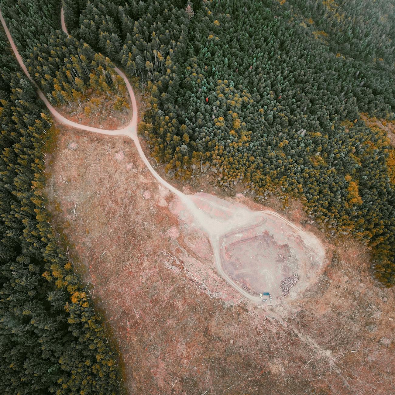
1. GIS can also be used to analyze the impacts of habitat fragmentation on species and ecosystems. By mapping the location and extent of fragmented habitats, conservationists can identify areas that are in need of restoration and connectivity.
example:
For example, a GIS can be used to map the fragmented habitats of a species, such as the Florida panther, and to identify areas where restoration efforts can be focused to improve habitat connectivity.
1. GIS can also be used to monitor the impacts of climate change on biodiversity. By analyzing changes in temperature and precipitation patterns, conservationists can predict how species and ecosystems will be affected and plan accordingly.
example:
For example, a GIS can be used to map the changing distribution of a species, such as the American pika, due to climate change and to identify areas where conservation efforts can be focused to protect the species.
Challenges:
There are several challenges that need to be considered when using GIS in biodiversity conservation. One of the main challenges is the availability and accuracy of spatial data. In many parts of the world, spatial data is limited or of poor quality, which can make it difficult to accurately analyze and map biodiversity data.
Another challenge is the complexity of biodiversity data. Biodiversity data can be complex and dynamic, which can make it difficult to analyze and interpret in a GIS.
A third challenge is the need for specialized skills and knowledge to use GIS in biodiversity conservation. GIS is a powerful tool, but it requires specialized skills and knowledge to use it effectively.
Despite these challenges, GIS is a valuable tool for biodiversity conservation. It can help conservationists to better understand and manage biodiversity data, and to plan and implement effective conservation efforts.
In conclusion, GIS is a powerful tool that can be used in a variety of applications, including biodiversity conservation. In the Graduate Certificate in GIS for Climate Change and Conservation, students will learn how to use GIS to analyze and understand biodiversity data in order to inform conservation efforts. Key terms and vocabulary that students in this course should be familiar with include GIS, biodiversity, conservation, spatial data, georeferencing, geoprocessing, habitat, habitat fragmentation, habitat connectivity, species distribution, threatened and endangered species, invasive species, protected areas, biodiversity hotspots, climate change, and GIS applications in biodiversity conservation.
Key takeaways
- In the Graduate Certificate in GIS for Climate Change and Conservation, students will learn how to use GIS to analyze and understand biodiversity data in order to inform conservation efforts.
- It includes the physical features of the environment, such as climate, topography, and vegetation, as well as the biological community of organisms that live there.
- This can help conservationists to identify important habitats for the species and to plan conservation efforts in those areas.
- By mapping the location and extent of fragmented habitats, conservationists can identify areas that are in need of restoration and connectivity.
- For example, a GIS can be used to map the fragmented habitats of a species, such as the Florida panther, and to identify areas where restoration efforts can be focused to improve habitat connectivity.
- By analyzing changes in temperature and precipitation patterns, conservationists can predict how species and ecosystems will be affected and plan accordingly.
- For example, a GIS can be used to map the changing distribution of a species, such as the American pika, due to climate change and to identify areas where conservation efforts can be focused to protect the species.