Geospatial Technologies for Sustainable Agriculture
Geospatial technologies are tools that allow for the collection, analysis, and visualization of geographic data. These technologies are increasingly being used in sustainable agriculture to help farmers and researchers make more informed de…
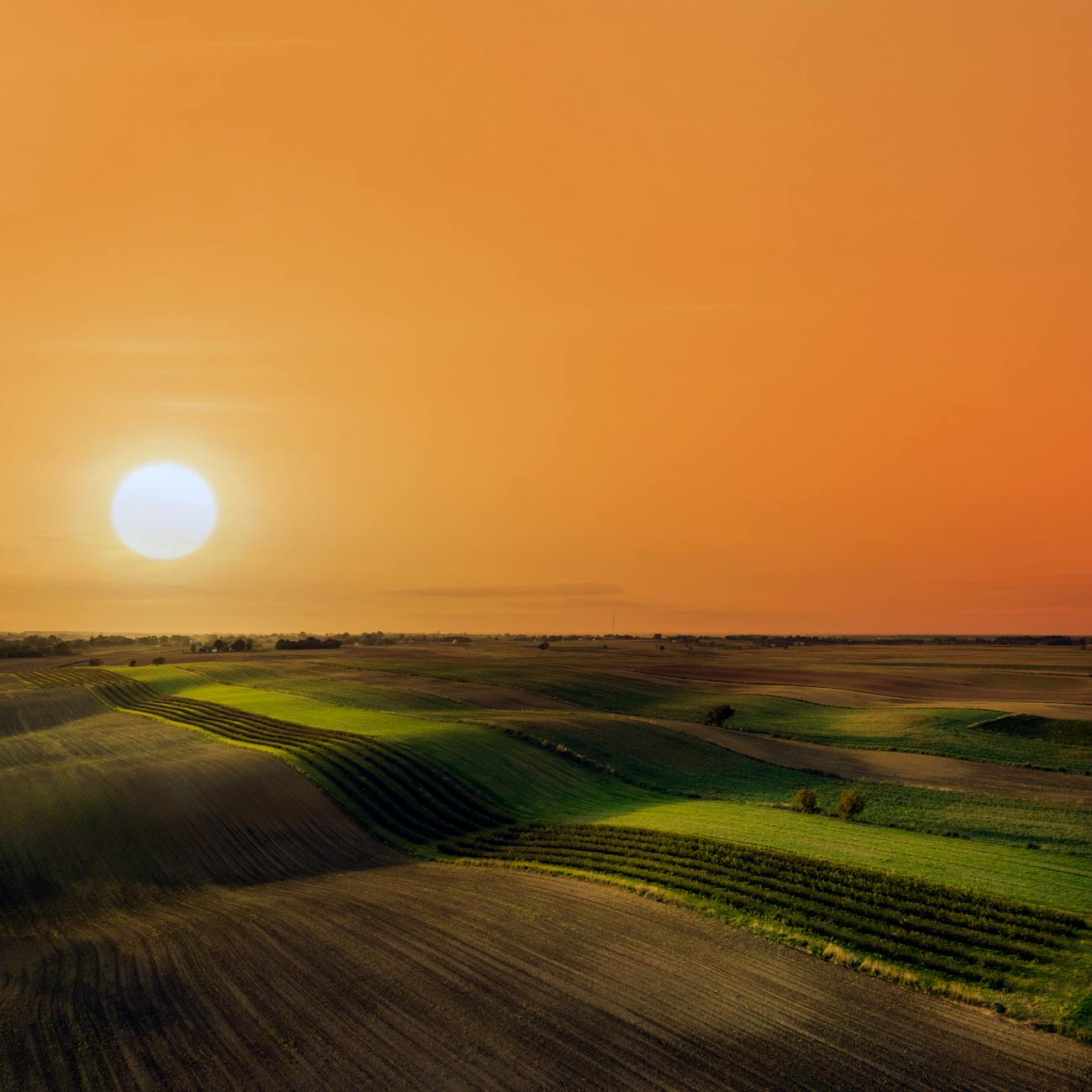
Geospatial technologies are tools that allow for the collection, analysis, and visualization of geographic data. These technologies are increasingly being used in sustainable agriculture to help farmers and researchers make more informed decisions about crop management, land use, and natural resource conservation. In this explanation, we will discuss some of the key terms and vocabulary related to geospatial technologies for sustainable agriculture in the context of the Graduate Certificate in GIS for Climate Change and Conservation.
1. Geographic Information Systems (GIS): A system for capturing, analyzing, and visualizing geographic data. GIS can be used to create maps, analyze spatial patterns, and make decisions about land use and resource management. 2. Remote Sensing: The collection of data about the Earth's surface from a distance, typically using satellites or aircraft. Remote sensing can be used to monitor crop health, soil moisture, and land cover changes. 3. Global Positioning System (GPS): A system of satellites and receivers that allows for the precise location of points on the Earth's surface. GPS is used in GIS to collect data about the location of features such as crops, fields, and infrastructure. 4. Spatial Analysis: The process of examining data in a geographic context to identify patterns and relationships. Spatial analysis can be used to understand the distribution of crops, the impact of climate change on agriculture, and the effectiveness of conservation practices. 5. Geodatabase: A database that is designed to store, manage, and analyze geographic data. Geodatabases can be used to store information about crops, soils, land use, and other agricultural resources. 6. Geoprocessing: The automated execution of a sequence of geographic operations. Geoprocessing can be used to perform spatial analysis, create maps, and generate reports. 7. Geovisualization: The use of maps, charts, and other visualizations to communicate geographic information. Geovisualization can be used to communicate the results of spatial analysis, identify trends, and make decisions. 8. Climate Change: A long-term change in the average weather patterns that have come to define local, regional and global climates. Climate change has the potential to significantly impact agriculture, through changes in temperature, precipitation, and extreme weather events. 9. Conservation: The protection, restoration, and management of natural resources. Conservation practices, such as crop rotation and cover cropping, can help to maintain soil health, reduce erosion, and increase the resilience of agricultural systems to climate change. 10. Sustainable Agriculture: An approach to agriculture that seeks to balance the need for food production with the need to protect the environment and natural resources. Sustainable agriculture practices, such as precision agriculture, can help to reduce inputs, increase yields, and improve the efficiency of agricultural systems. 11. Precision Agriculture: An approach to agriculture that uses geospatial technologies to collect, analyze, and manage data about crops, soils, and other agricultural resources. Precision agriculture can be used to optimize crop inputs, improve yields, and reduce environmental impacts. 12. Normalized Difference Vegetation Index (NDVI): A remote sensing index that is used to measure the health of vegetation. NDVI is calculated by taking the difference between the near-infrared and red reflectance values of a pixel, and then dividing that difference by the sum of the two values. 13. Soil Moisture: The amount of water that is present in the soil. Soil moisture is an important factor in crop growth and development, and can be monitored using remote sensing technologies. 14. Land Cover: The physical material on the Earth's surface. Land cover can be classified as vegetation, water, built-up areas, or bare ground. 15. Land Use: The way that land is used by humans. Land use can be classified as agricultural, residential, commercial, or industrial. 16. Digital Elevation Model (DEM): A 3D representation of the Earth's surface. DEMs can be used to analyze topography, drainage patterns, and other landscape features. 17. Lidar: A remote sensing technology that uses laser light to measure the distance to the Earth's surface. Lidar can be used to create high-resolution DEMs, and to measure vegetation height and density. 18. Orthophoto: A photograph that has been corrected to remove distortions caused by the camera's perspective. Orthophotos can be used to create detailed maps, and to measure the size and shape of features on the Earth's surface. 19. Spatial Join: A geoprocessing operation that combines the attributes of two datasets based on their spatial relationship. Spatial joins can be used to add information about the location of features, such as the name of a river or the type of land cover. 20. Geocoding: The process of assigning a location (latitude, longitude) to a feature, such as an address or a point of interest. Geocoding can be used to map the location of features, such as farms or fields. 21. Georeferencing: The process of aligning a dataset with a known coordinate system. Georeferencing can be used to ensure that data is accurately located on a map. 22. Spatial Interpolation: The process of estimating the value of a variable at unsampled locations based on the values at sampled locations. Spatial interpolation can be used to create continuous surfaces from point data, such as temperature or precipitation. 23. Spatial Autocorrelation: The tendency of values at nearby locations to be similar to each other. Spatial autocorrelation can be used to identify patterns in data, such as clustering or dispersion. 24. Hot Spot Analysis: A spatial statistical technique used to identify clusters of high or low values. Hot spot analysis can be used to identify areas of high or low crop yield, or areas of high or low soil moisture. 25. Kriging: A spatial interpolation method that uses a mathematical model to estimate the value of a variable at unsampled locations. Kriging can be used to create continuous surfaces from point data, such as temperature or precipitation. 26. Least Cost Path Analysis: A geoprocessing operation that identifies the most cost-effective route between two points, based on the cost of travel across the landscape. Least cost path analysis can be used to plan the layout of infrastructure, such as roads or pipelines. 27. Viewshed Analysis: A geoprocessing operation that identifies the area that is visible from a specific location. Viewshed analysis can be used to plan the placement of wind turbines or communication towers. 28. Suitability Analysis: A geoprocessing operation that identifies the most suitable locations for a particular land use or activity. Suitability analysis can be used to identify the best locations for agricultural production, conservation, or development. 29. Climate Modeling: The use of mathematical models to simulate the Earth's climate system. Climate modeling can be used to predict future climate conditions, and to understand the potential impacts of climate change on agriculture. 30. Climate Change Adaptation: The actions taken to prepare for and respond to the impacts of climate change. Adaptation strategies for agriculture may include the use of drought-tolerant crops, precision agriculture, or the development of new irrigation systems. 31. Climate Change Mitigation: The actions taken to reduce greenhouse gas emissions and slow the pace of climate change. Mitigation strategies for agriculture may include the use of no-till farming, cover cropping, or the development of renewable energy sources. 32. Open Source GIS: GIS software that is freely available to the public. Open source GIS can be used for data visualization, spatial analysis, and map creation. Examples of open source GIS software include QGIS, GRASS, and PostGIS. 33. Proprietary GIS: GIS software that is owned and licensed by a private company. Proprietary GIS software can be expensive, but often offers advanced features and support. Examples of proprietary GIS software include ArcGIS, MapInfo, and Global Mapper. 34. Cloud-based GIS: GIS software that is hosted on remote servers and accessed through the internet. Cloud-based GIS can be used for data visualization, spatial analysis, and map creation, and often offers the advantage of low cost and easy access. 35. Geospatial Web Services: Web-based services that provide access to geospatial data and functionality. Geospatial web services can be used to access data from remote sensors, perform spatial analysis, and create maps. Examples of geospatial web services include WMS, WFS, and WCS. 36. Spatial Data Infrastructure (SDI): A framework for managing and sharing geospatial data and services. SDIs can be used to improve the accessibility and usability of geospatial data, and to support decision-making in areas such
Key takeaways
- In this explanation, we will discuss some of the key terms and vocabulary related to geospatial technologies for sustainable agriculture in the context of the Graduate Certificate in GIS for Climate Change and Conservation.
- Conservation practices, such as crop rotation and cover cropping, can help to maintain soil health, reduce erosion, and increase the resilience of agricultural systems to climate change.